Forecast · Weather Maps
The whole ocean, three days ahead.
Wind, waves, currents, sea temperature, rain, and more, animated across the planet from the world's leading forecast models. Watch the weather build, turn, and move before it reaches you.


Nine layers
See what's coming, not just what's here
Pick a layer from the strip and the forecast flows across the map: streamlines for the wind, crests for the waves, colour for everything else, with the scale right on screen.
- The wind behind the weather
- On rain, cloud, gusts, temperature, and CAPE, the lines keep tracing the wind, so you can see what's carrying it your way.
- Your chart's colours
- The same scales as OceanPulse's chart overlays, so 18 knots always looks like 18 knots.
- Easy on the battery
- The animation slows itself in Low Power Mode and rests while you pan and zoom.
-
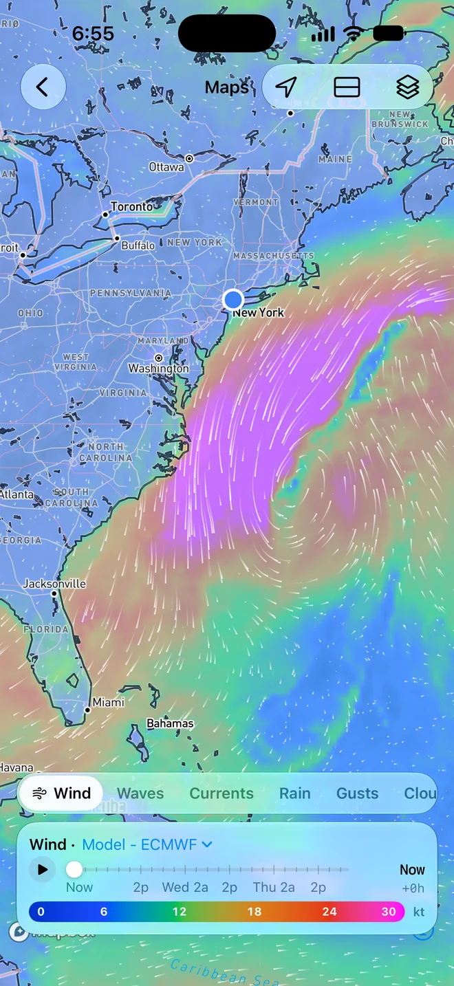
Wind
Speed and flow, in knots
-
Waves
Significant height, drawn as moving crests
-
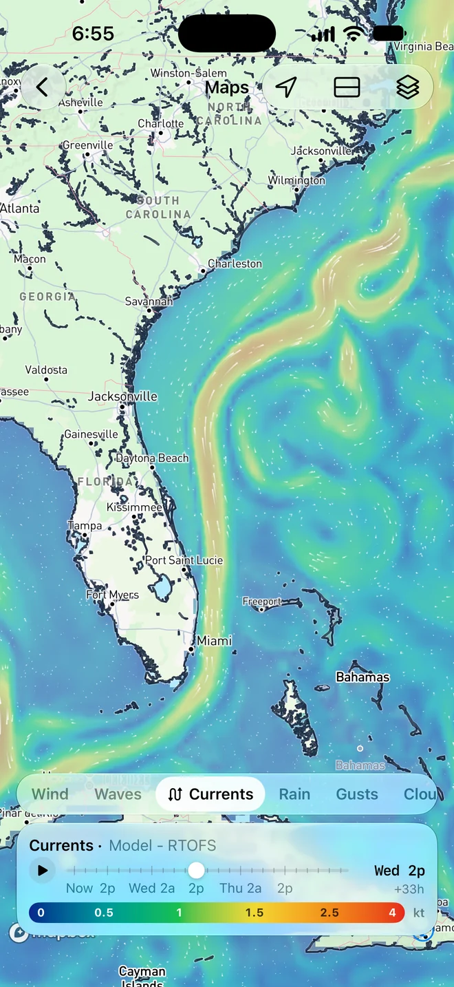
Currents
Ocean currents, from the Gulf Stream to your inlet
-
Sea Temp
Sea surface temperature, measured daily or forecast
-
Rain
Rain over each three hours
-
Gusts
The peaks the average hides
-
Cloud
Cloud cover, clear sky to overcast
-
Air Temp
Temperature in °F or °C
-
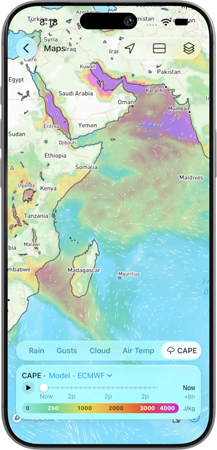
CAPE
Energy available for thunderstorms
Pick your model
The world's best forecasts, your call
Switch the model behind any layer in a tap. OceanPulse uses the latest run as soon as it lands, and remembers your pick across the app.
- Weather
- GFS from NOAA, ECMWF, and AIFS, ECMWF's AI model.
- Waves
- GFS Wave from NOAA, ECMWF WAM, and MFWAM from Copernicus Marine.
- Currents
- RTOFS from NOAA, ECMWF Ocean, and Mercator from Copernicus Marine.
- Sea Temp
- Geo-Polar Blended, NOAA's daily satellite measurement, and the RTOFS forecast.
Split view
Two maps, one timeline
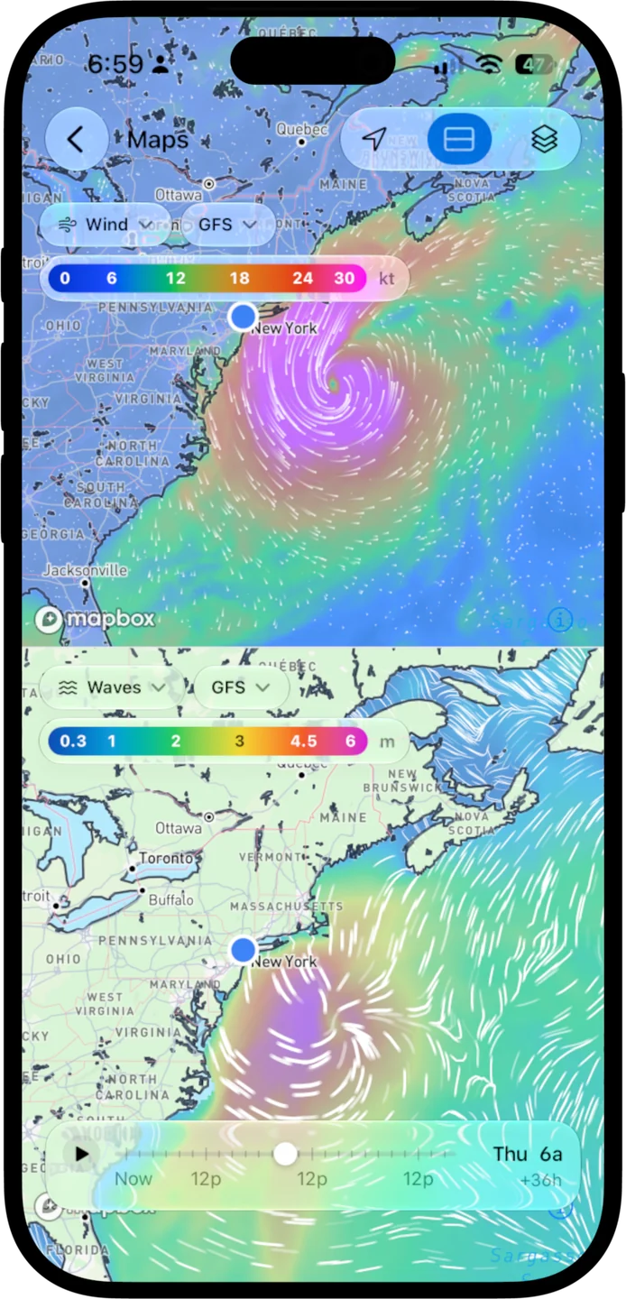
Split the screen to put wind beside waves, or two models on the same layer. One timeline drives both, and moving either map moves the other.
- Compare models head to head
- Put the same layer in both panes and OceanPulse loads a different model in the second.
- Scrub 72 hours ahead
- Drag through the forecast in three-hour steps, or press play and watch it unfold.
- Fits the way you hold it
- Panes stack on iPhone and sit side by side on a wide iPad.
On iPad
Room for the whole system
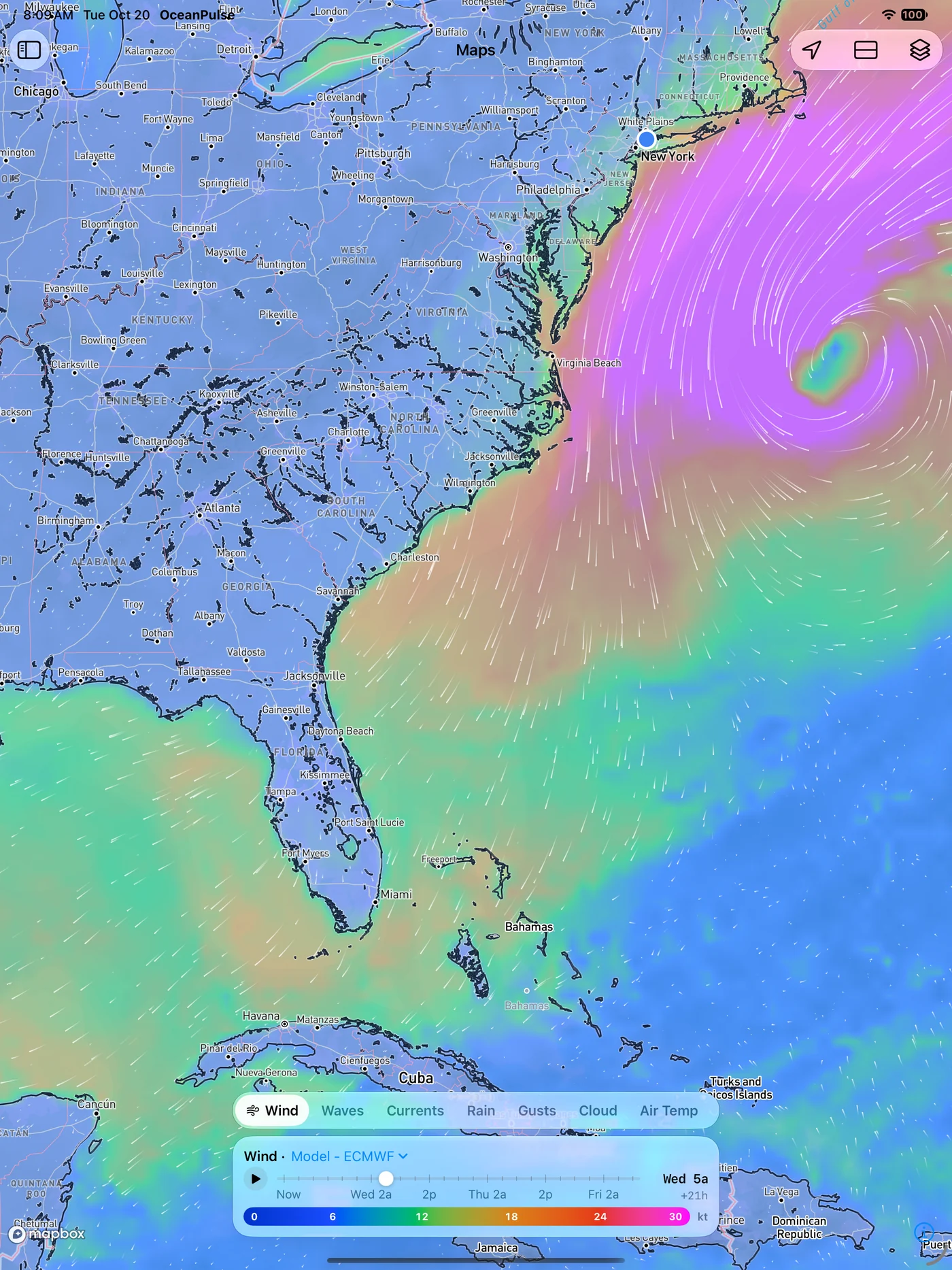
The big screen shows a storm and everything around it, from the coast to a thousand miles offshore.
User guide
Learn Weather Maps inside out
Watch wind, waves, currents, sea temperature, rain, and more across the world over the next three days, and compare two layers or models side by side.
There's more
More from OceanPulse
- Daily Summary Ten days for every place you've saved, each split into morning, afternoon, evening, and overnight.
- Tables & Graphs A ten-day, hour-by-hour forecast grid for any place, with Apple, GFS, ECMWF, and AIFS side by side.
- Tides & Currents Offline predictions at about 5,800 NOAA tide and current stations, with high and low water, slack, and max flood and ebb.
- Solunar Sunrise, sunset, every twilight, and the moon's rise, set, and phase for any place, even offline.
- GMDSS Official marine safety broadcasts and warnings, read for you and placed on the map.
- Coastal Charts Official NOAA charts for the US, the Great Lakes, and US territories, with markers, routes, and offline downloads.
Ready to dive in?
Start using OceanPulse today.