Conditions · Rain Radar
See the rain coming.
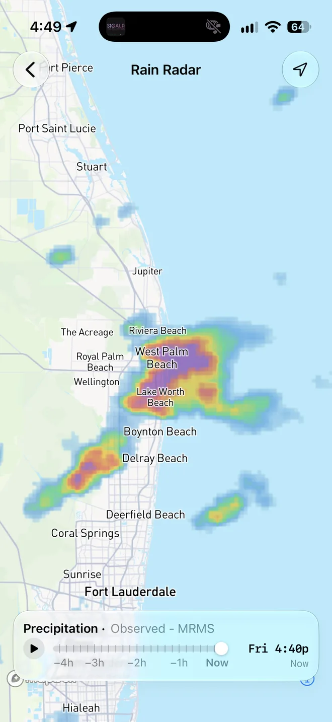
NOAA's high-resolution radar across the US, looping the last four hours, so you can tell whether that cell is heading your way or sliding past.


Observed, not forecast
The rain that's actually falling
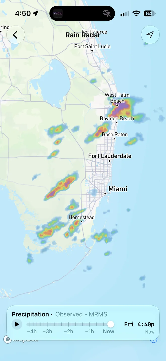
Rain Radar is NOAA's MRMS mosaic from the National Severe Storms Laboratory: every weather radar in the country stitched into one picture, sharp enough to pick single storm cells out of a squall line.
- 1 km detail
- See the edge of the rain, not a blurry blob, and how much clear water sits between you and it.
- A new frame every 10 minutes
- OceanPulse checks for fresh radar every 90 seconds while you're watching.
- Coast to coast
- The contiguous US and the waters around it, out to parts of southern Canada and the Bahamas, plus Alaska, Hawaii, Puerto Rico, and Guam.
Four hours of history
Watch where it's going
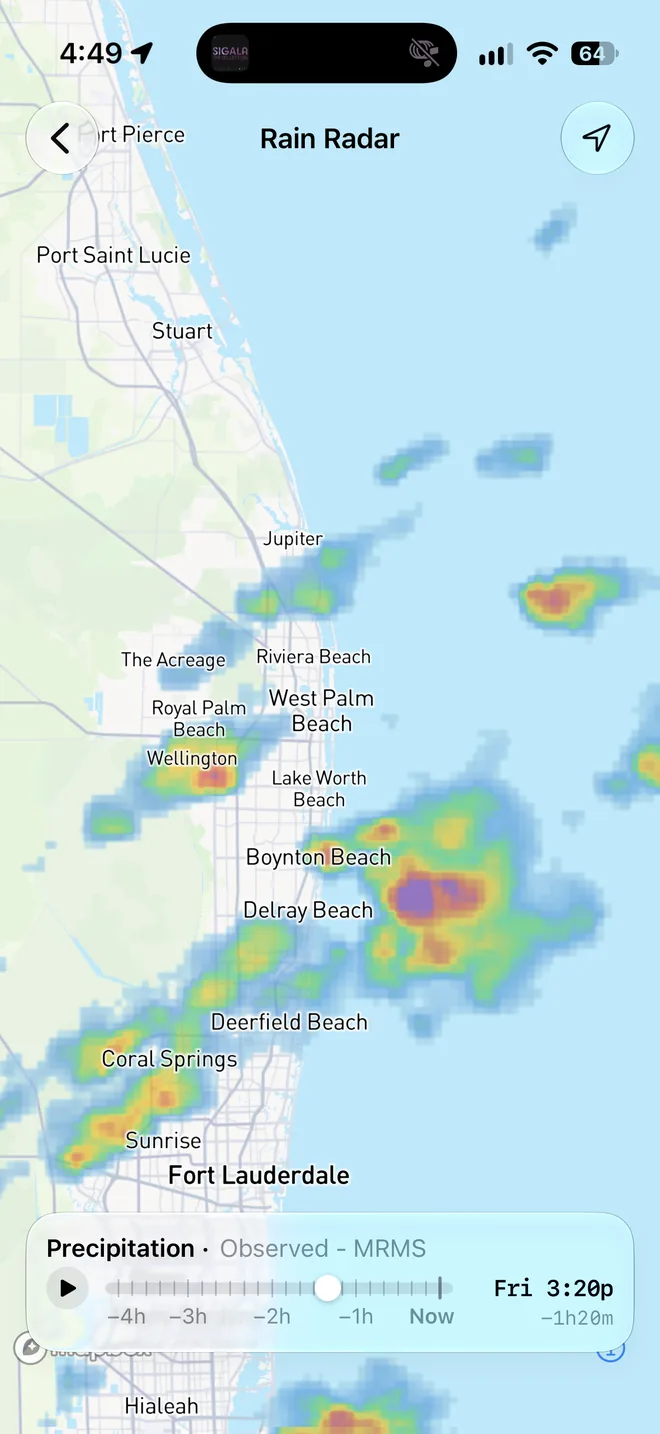
Press play and the last four hours run smoothly to now, then loop. Drag through it frame by frame to judge a storm's speed and track before you decide to run for it or wait it out.
- Smooth, not jumpy
- Frames blend into each other as you scrub, with a light tap for each one.
- On your Home screen
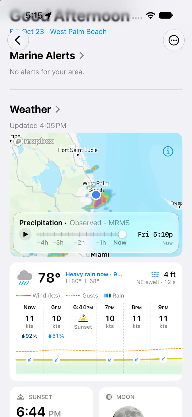
- When rain is due near you, a radar card appears on Home. Tap it for the full loop.
- On your chart, too
- Lay the same radar over the nautical chart in Coastal Charts and watch the rain cross the water you're about to.
User guide
Learn Rain Radar inside out
Watch the last four hours of rain across the US, measured by NOAA's weather radars, and see whether a storm is heading your way.
There's more
More from OceanPulse
- Satellite Clouds Infrared images from five weather satellites, blended into one live picture of the whole planet's clouds and looping the last four hours.
- Weather Replay Scrub back through the last 90 days of weather on the map, from ECMWF's record of past conditions.
- Daily Summary Ten days for every place you've saved, each split into morning, afternoon, evening, and overnight.
- Weather Maps Wind, waves, currents, sea temperature, rain, and more, animated across the whole planet three days ahead, with a split view to compare models.
- Tables & Graphs A ten-day, hour-by-hour forecast grid for any place, with Apple, GFS, ECMWF, and AIFS side by side.
- Tides & Currents Offline predictions at about 5,800 NOAA tide and current stations, with high and low water, slack, and max flood and ebb.
Ready to dive in?
Start using OceanPulse today.