Forecast · Daily Summary
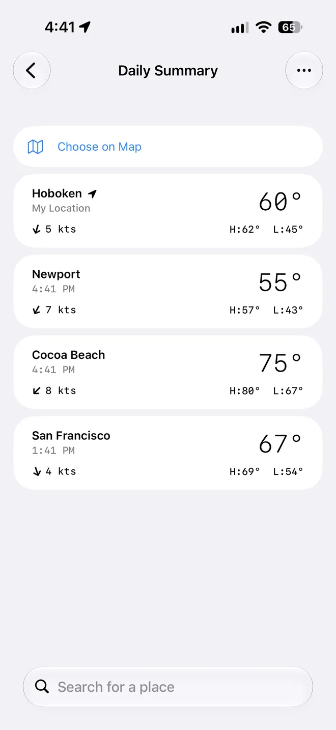
Your week on the water, at a glance.
Ten days for every place you care about, each split into morning, afternoon, evening, and overnight, in the language sailors use: Beaufort force, sea state, swell, tide, and warnings.


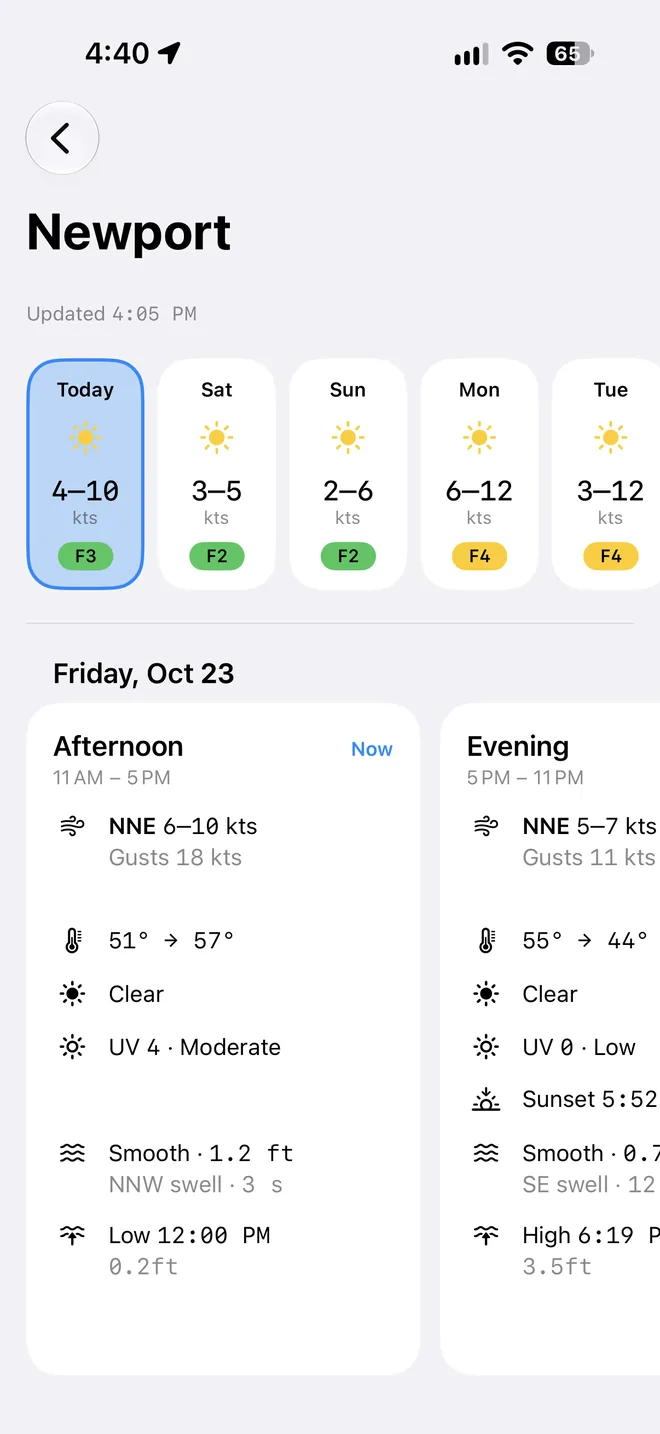
- Morning
- 5 AM – 11 AM
- Afternoon
- 11 AM – 5 PM
- Evening
- 5 PM – 11 PM
- Overnight
- 11 PM – 5 AM
Read like a sailor
Wind, sea, and sky, in four lines
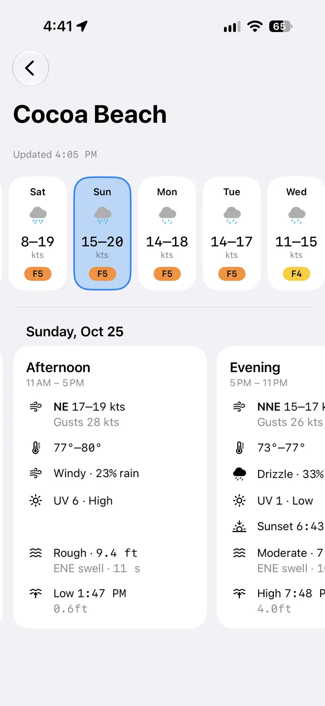
Each card sums up its six hours the way you'd say it on the radio: the wind and its gusts, whether it's veering or backing, the sea state and the swell, and the one sky condition that matters.
- Beaufort at a glance
- Every day's tile carries its Beaufort force, so the windy days jump out of the week.
- Sea state, not just wave height
- The Douglas sea scale and the highest waves, then the swell's direction and period.
- The sky that matters
- A thunderstorm or a wet afternoon wins over a mostly sunny day, with the chance of rain when it counts.
All in one place
Tides and warnings on every card
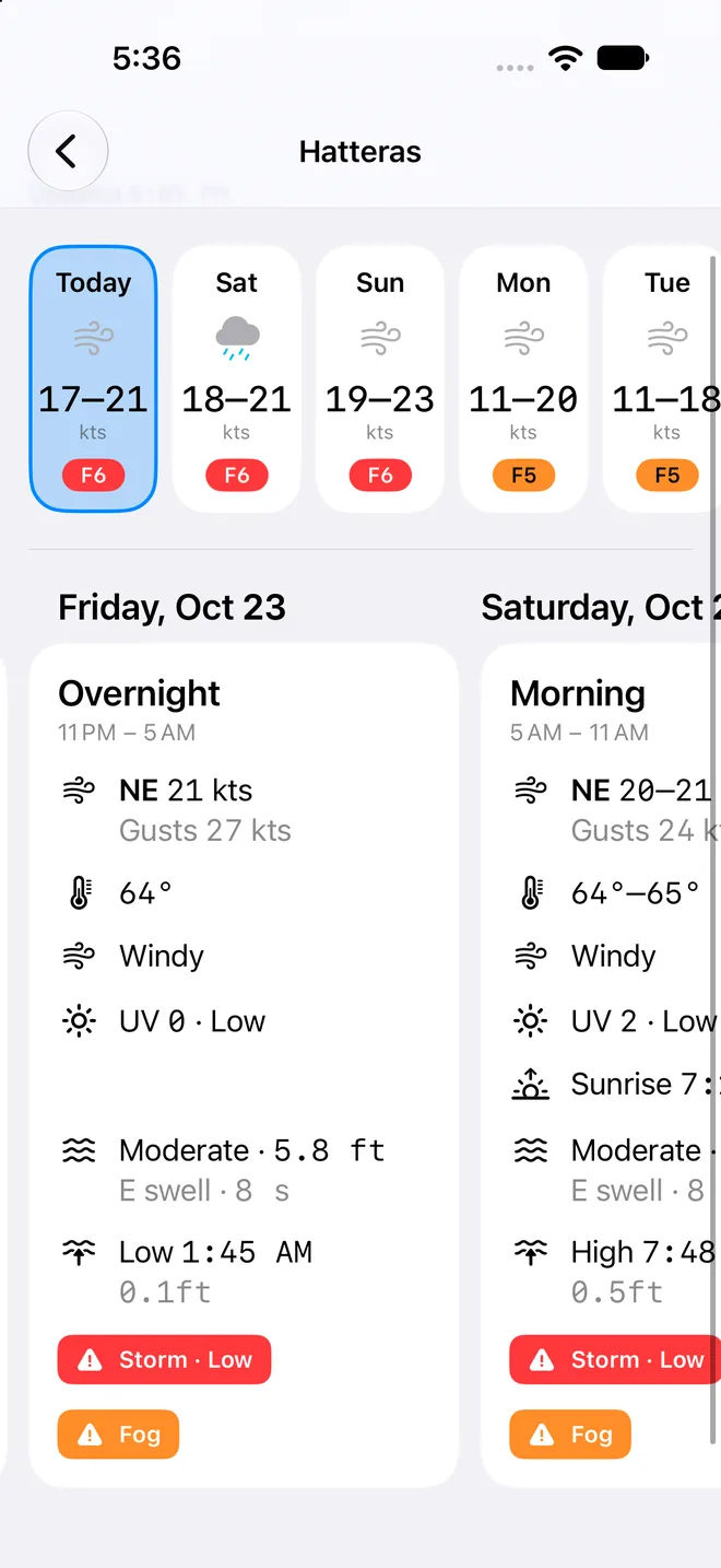
Sunrise and sunset, the UV index, any marine warnings in force nearby and, with Pro, high and low water from the nearest tide station, right beside the forecast they belong with.
- Warnings you can follow
- Tap an alert badge to see the storm or gale on the map, from the official GMDSS bulletins.
- Places on the water
- Drop a point offshore and it's named for the water it's on, like Gulf of Maine · off Portland, in that place's own time.
- Shared with the table
- The same places, a tap away in Tables & Graphs when you want every hour.
User guide
Learn Daily Summary inside out
A ten-day forecast for each of your places, with every day split into morning, afternoon, evening, and overnight, covering wind, sea state, tides, and alerts.
There's more
More from OceanPulse
- Weather Maps Wind, waves, currents, sea temperature, rain, and more, animated across the whole planet three days ahead, with a split view to compare models.
- Tables & Graphs A ten-day, hour-by-hour forecast grid for any place, with Apple, GFS, ECMWF, and AIFS side by side.
- Tides & Currents Offline predictions at about 5,800 NOAA tide and current stations, with high and low water, slack, and max flood and ebb.
- Solunar Sunrise, sunset, every twilight, and the moon's rise, set, and phase for any place, even offline.
- GMDSS Official marine safety broadcasts and warnings, read for you and placed on the map.
- Coastal Charts Official NOAA charts for the US, the Great Lakes, and US territories, with markers, routes, and offline downloads.
Ready to dive in?
Start using OceanPulse today.