Conditions · Satellite Clouds
Watch the weather from space.
Live images from five weather satellites, blended into one picture of the whole planet's clouds, so you can see a storm building long before it reaches you, wherever you sail.


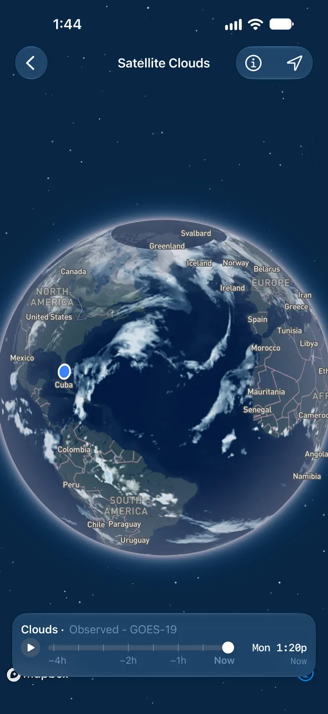
Five satellites, one picture
The whole planet, every 10 minutes
GOES-19 and GOES-18 watch the Americas and the Pacific, Himawari-9 watches Asia and Australia, and Meteosat-12 and Meteosat-9 watch Europe, Africa, and the Indian Ocean. OceanPulse blends their images into one seamless picture, with NOAA's global mosaic filling in toward the poles.
- Day and night
- Infrared sees clouds by their temperature, so the picture is as clear at 3 am as it is at noon.
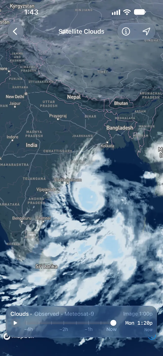
- Storm tops stand out
- The tallest, coldest clouds turn blue, so thunderstorms and tropical storms jump out of the picture.
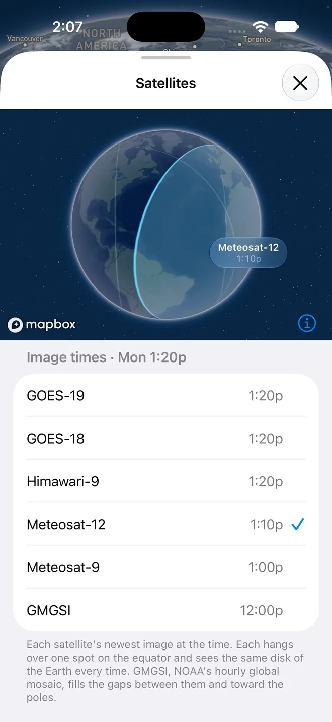
- Every image dated
- The Satellites panel shows when each satellite took its picture, and draws the part of the Earth it sees.
Beyond the radar
See what's coming, anywhere
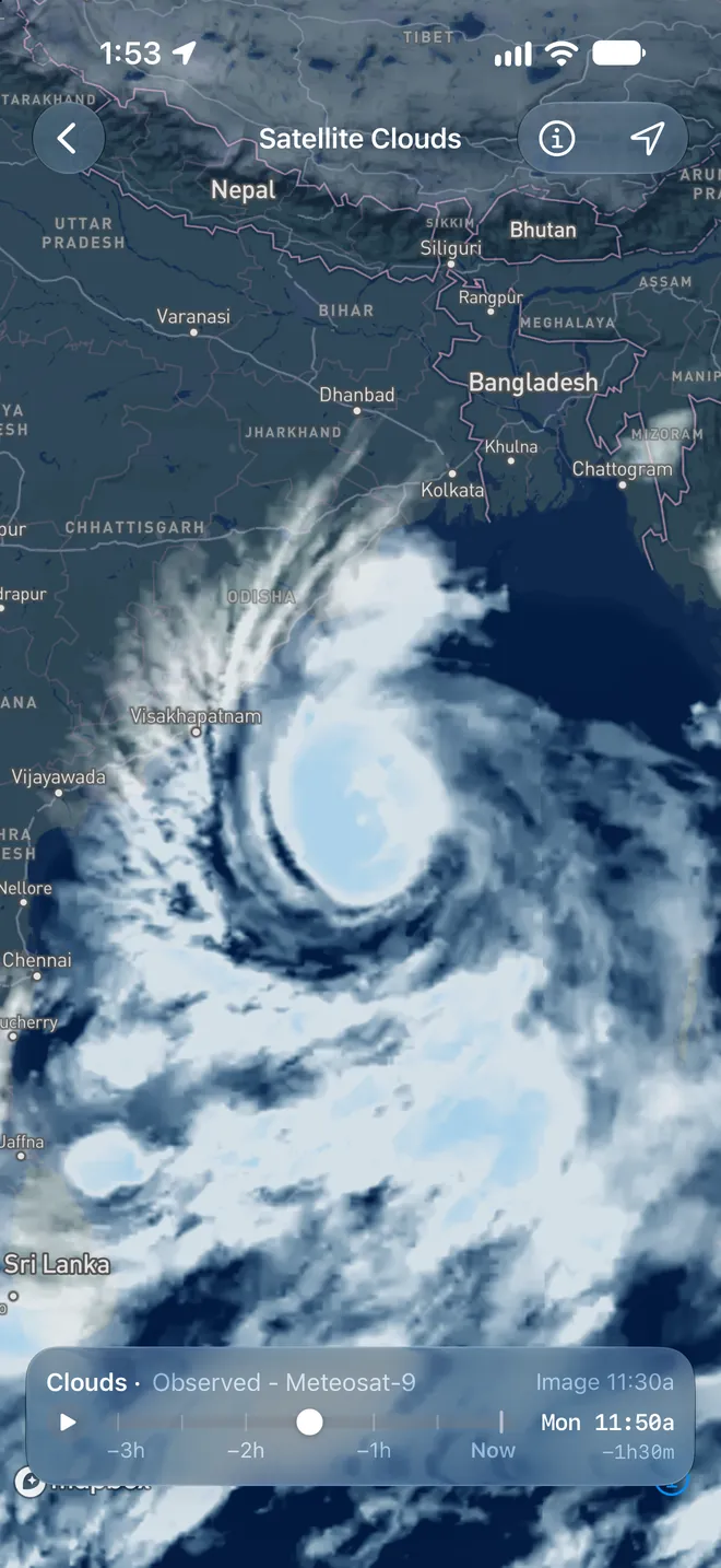
Weather radar only reaches so far offshore. Satellites see the whole ocean, so you can watch a squall line build out at sea, a front sweep in, or a tropical storm's bands wrap toward the coast.
- Four hours of history
- Press play and the last four hours run to now, or drag back frame by frame to judge how fast the weather is moving, and where.
- 2.4 km detail
- Sharp enough to pick out single storms and the clear water between them.
- Smooth, not jumpy
- Frames blend into each other as you scrub, with a light tap for each one.
Satellite images: NOAA GOES and GMGSI; Himawari-9 data (JMA) via NOAA, modified; contains modified EUMETSAT Meteosat data 2026.
User guide
Learn Satellite Clouds inside out
Watch live satellite images of the clouds anywhere in the world, and loop the last four hours to see where the weather is heading.
There's more
More from OceanPulse
- Rain Radar High-resolution NOAA radar across the US, Alaska, Hawaii, Puerto Rico, and Guam, looping the last four hours of observed rain.
- Weather Replay Scrub back through the last 90 days of weather on the map, from ECMWF's record of past conditions.
- Daily Summary Ten days for every place you've saved, each split into morning, afternoon, evening, and overnight.
- Weather Maps Wind, waves, currents, sea temperature, rain, and more, animated across the whole planet three days ahead, with a split view to compare models.
- Tables & Graphs A ten-day, hour-by-hour forecast grid for any place, with Apple, GFS, ECMWF, and AIFS side by side.
- Tides & Currents Offline predictions at about 5,800 NOAA tide and current stations, with high and low water, slack, and max flood and ebb.
Ready to dive in?
Start using OceanPulse today.