Forecast · Tides & Currents
Tides that work offline.
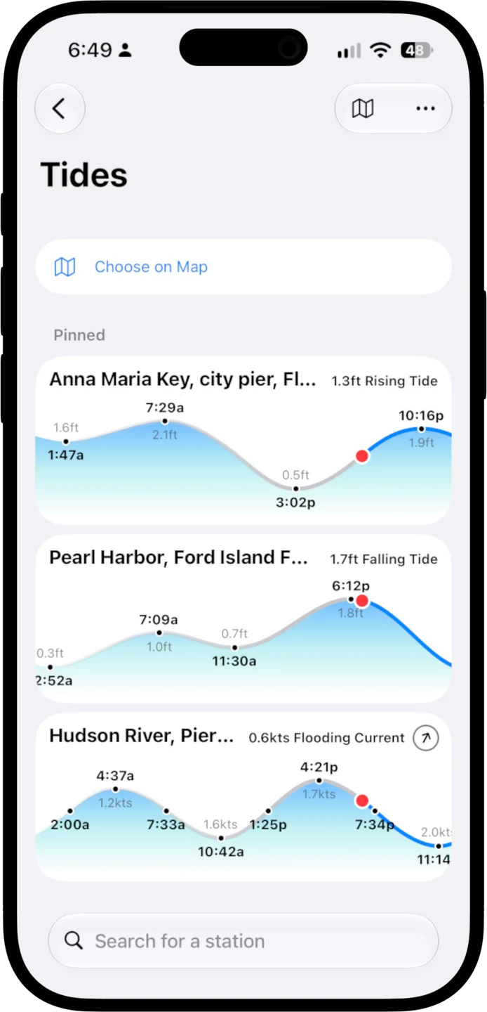
Predictions for about 5,800 NOAA tide and current stations, worked out right on your phone, so they're there a mile offshore with no bars at all.


Currents, not just tides
Time the slack. Ride the flood.
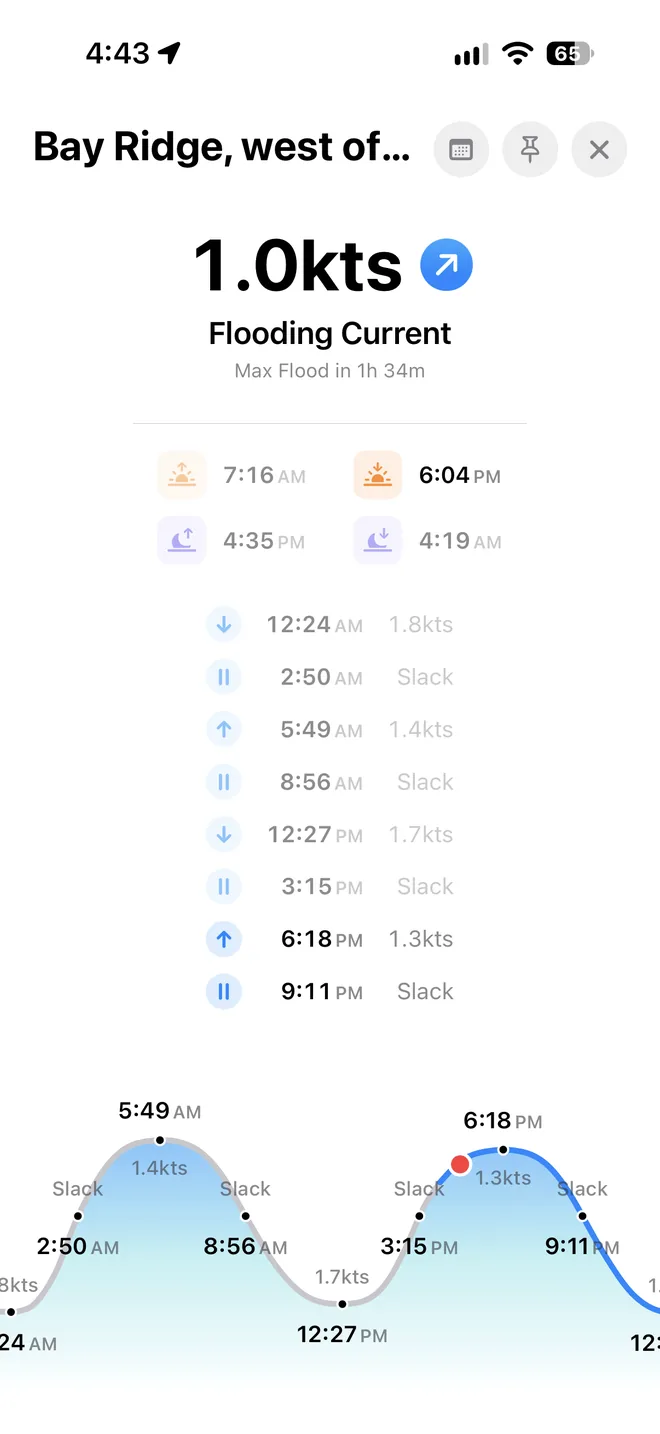
More than 2,500 of the stations are current stations: when the water turns, when it runs hardest each way, and how fast. Plan the pass, the inlet, or the bridge for the slack, or ride the ebb out.
- Slack, max flood, and max ebb
- Every turn of the current with its time and speed, laid out on the day's curve.
- Right now, at a glance
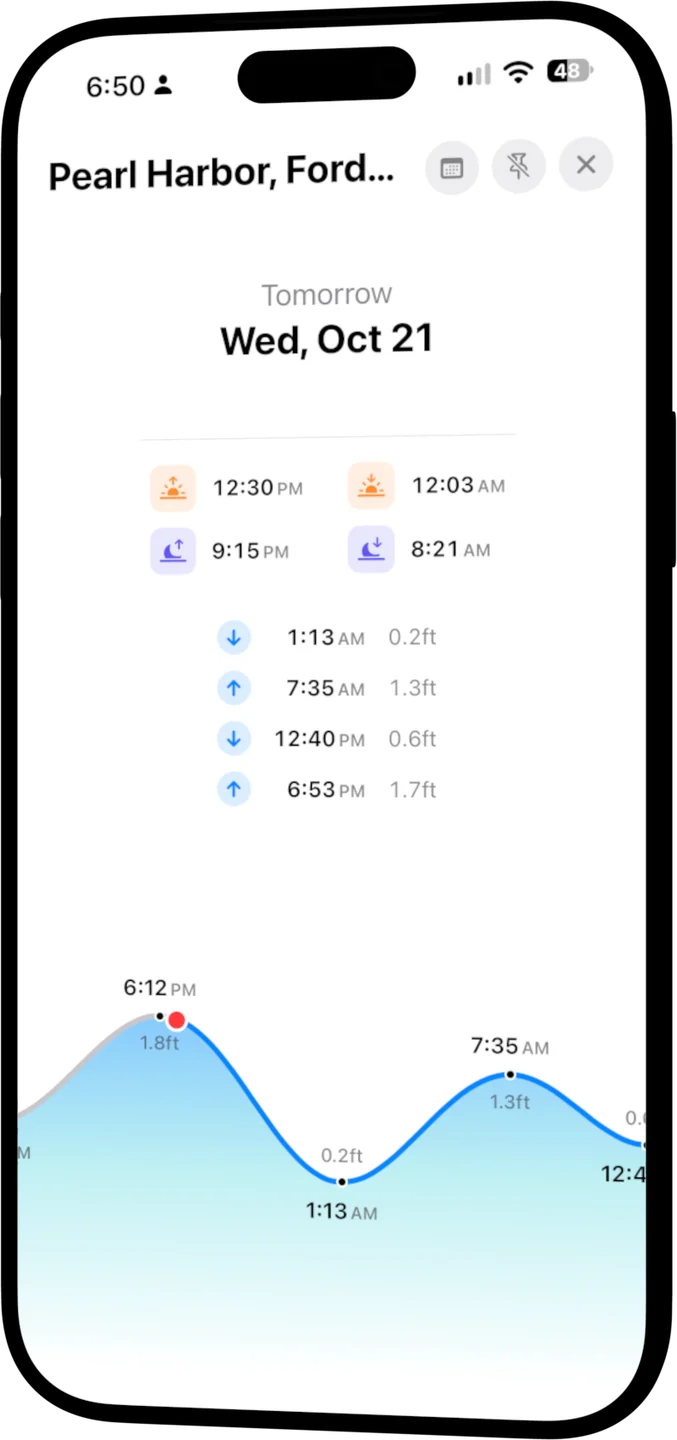
- The height or speed this minute, which way it's heading, and how long until the next high, low, or slack.
- Any day, decades out
- Scroll through the days around today, or jump to any date from 2000 to 2099.
Offline by design
No signal, no problem
Every prediction is calculated on your device from NOAA's tidal data, which comes with the app. Your stations, search, and every day's tides work whether you're tied up at the dock or anchored out of range.
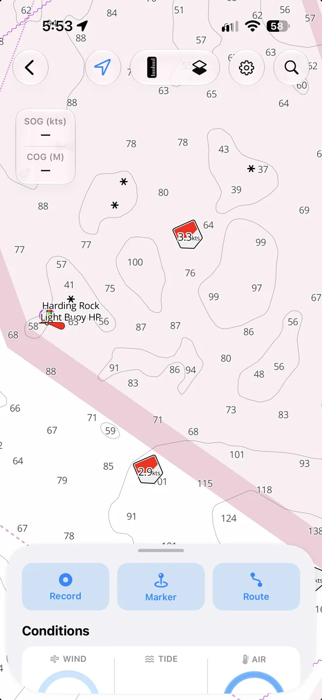
- Live on your chart
- Zoom in on a harbour and each station shows its reading now: tide icons fill as the water rises, current arrows swing with the flow.
- The nearest station on Home
- Home shows the closest tide station and the ones you opened last.
- Your units
- Feet, metres, or fathoms; knots, mph, or km/h.
On iPad
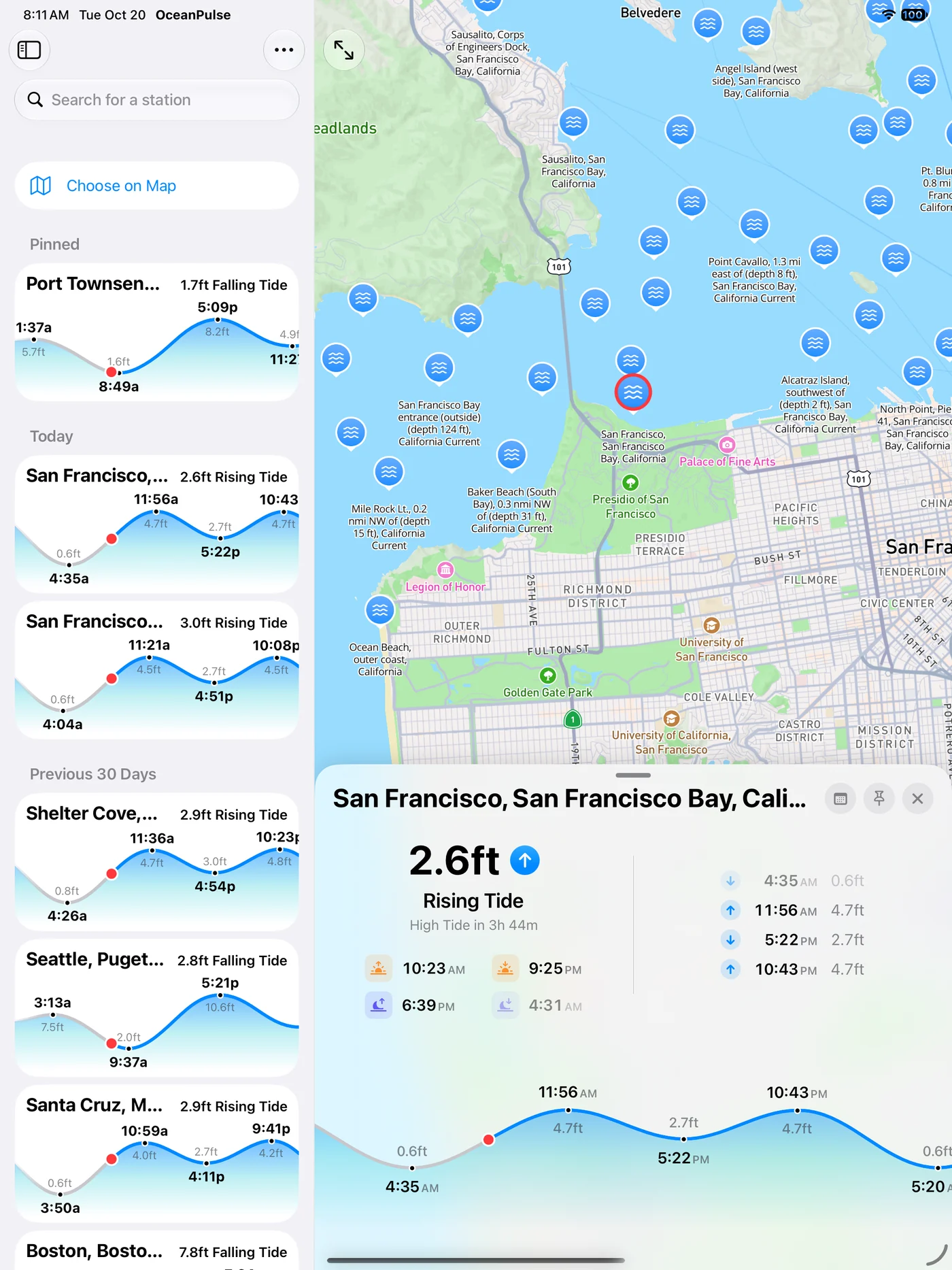
Your stations, on the map
Pin the stations you use, browse every one on the map, and open any of them right where it sits.
User guide
Learn Tides & Currents inside out
Tide and current predictions for about 5,800 NOAA stations, worked out on your device so they work offline, with high and low water, slack, and max flood and ebb.
There's more
More from OceanPulse
- Daily Summary Ten days for every place you've saved, each split into morning, afternoon, evening, and overnight.
- Weather Maps Wind, waves, currents, sea temperature, rain, and more, animated across the whole planet three days ahead, with a split view to compare models.
- Tables & Graphs A ten-day, hour-by-hour forecast grid for any place, with Apple, GFS, ECMWF, and AIFS side by side.
- Solunar Sunrise, sunset, every twilight, and the moon's rise, set, and phase for any place, even offline.
- GMDSS Official marine safety broadcasts and warnings, read for you and placed on the map.
- Coastal Charts Official NOAA charts for the US, the Great Lakes, and US territories, with markers, routes, and offline downloads.
Ready to dive in?
Start using OceanPulse today.