This is a bit of a story about myself, going from lake boating into “ocean” sailing, and then into what will seem like the obvious reasons why we’re building OceanPulse.
First off, I’m a software engineer by trade and grew up programming and building apps, all of which have failed but were great learning experiences. I’m also a lifelong boater — most of my time on the water was spent on a lake in Connecticut. For the ski boaters out there, my parents had a Mastercraft Tristar 190, and I later upgraded to a Mastercraft X-Star.
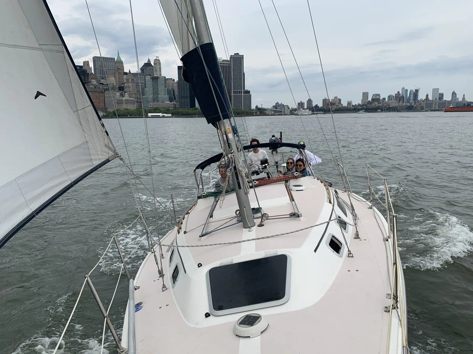
About ten years ago I ended up trying my hand at sailing (I’m still terrible at it) and went on to buy a 30’ sailboat with a buddy from work. It was a Catalina 30, for those who are interested — the same boat in the picture above.
I quickly found out that learning ocean and salt water boating is a lot different than lake boating. There were things I had to learn: tides and currents, COLREGS, anchoring, and charting. One of the first things I started doing was looking for the best iPhone app for marine charting.
That’s when the disappointment started building quickly. Why isn’t there a Google Maps for the water — an app that’s free and works flawlessly 99% of the time?
I won’t call out any names to avoid ruffling feathers, but here’s what I don’t like about the big name apps:
- Charging for chart data. This one is for my US boaters, ocean and lakes alike: you’ve already paid for marine chart data with your tax dollars, because NOAA produces it. Every app was asking for money just to view the charts. Why do I have to pay again?
- Weak user experience. Using a marine app should be as enjoyable as using Google or Apple Maps. Everything pans and zooms smoothly, it’s easy to navigate, the app just works. Everything I tried felt bad compared to land lubber navigation apps.
- Juggling multiple apps. I often found myself hopping between apps to get what I needed: detailed wind and weather, tides and currents that still work when the signal doesn’t, charts I could actually rely on offline. Why can’t one app do all of that, and do it well?
So that’s the pitch. OceanPulse is free NOAA charts, offline tides and currents computed on your device, and marine weather — in one app that’s fast enough to actually enjoy using.
The point is to build the app I wanted when I bought that Catalina. If you do decide to try it, please always feel comfortable reaching out. I’m building this for boaters, and everything I do is driven by users like you.
Happy boating!